Einstellungen
 Leichte Sprache
Wie barrierefrei ist diese Webseite?
Wen können Sie bei Anmerkungen oder Fragen zur digitalen Barrierefreiheit (Feedbackoption) kontaktieren?
Name: Öffentlichkeitsarbeit
E-Mail: internetredaktion@senstadt.berlin.de
Telefon: 030 90139-4957
Wo gibt es zusätzliche Informationen zur Barrierefreiheit im Land Berlin?
|
[an error occurred while processing this directive] |
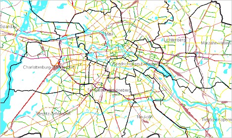
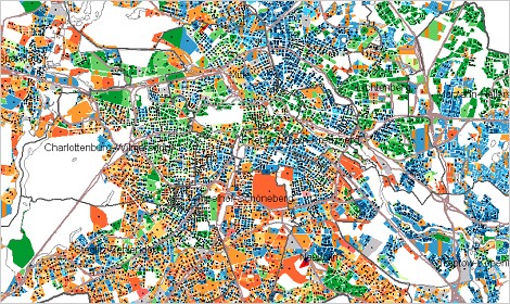
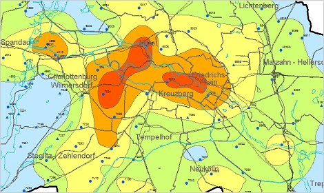
Geoportal BerlinEnvironmental Atlas
The Environmental Atlas Berlin is now available at www.berlin.de/umweltatlas/en. Let’s take a stroll through the European metropolis of Berlin and learn something along the way!
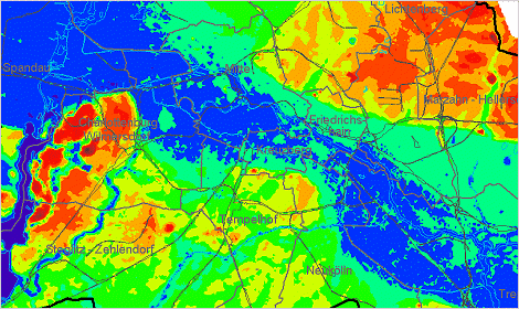
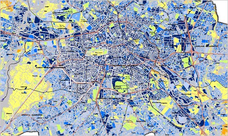
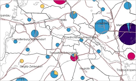
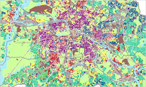
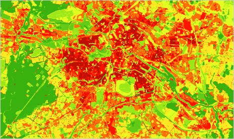
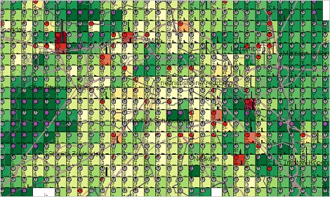
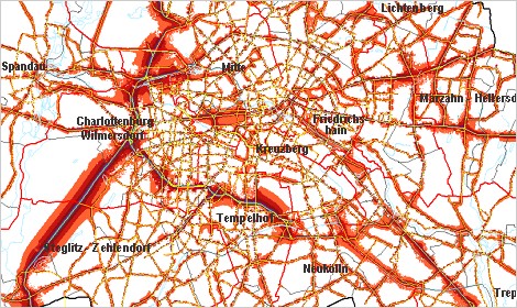
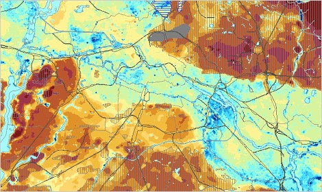
The Environmental Atlas is a presentation of work from the Senate Department for Urban Development and Housing and the Senate Department for the Environment, Transport and Climate Protection. The approximately eighty topics and hundreds of maps are organized under the topics of soil, water, air, climate, biotopes, land use, traffic, noise, energy, human and environment. They focus on pollution and dangers emanating from them, as well as existing positive qualities and development potentials. The detailed maps covering usually the entire urban area and are usable in the internet since 1995. Since 2005, the functionalities of FIS-Broker
can be used for the map presentation. Spatial and topical selection via address search, coordinates or keywords is possible. Topics with equal area units can be linked , with different area units overlayed and topical dossiers for marked areas can be produced. Numerous factual data for all of the 25,000 blocks or block-sections can be presentated and analyzed. |
|||||